Site Map: |
| Imnavait Watershed Sites
Upper Kuparuk Watershed Sites Western Kuparuk Sites Eastern Kuparuk Sites Coastal Plain Sites General Info |
INTRODUCTIONDriven by the need to improve our understanding of the role that arctic hydrology plays in the regional and global climate, several related hydrologic studies were initiated on the North Slope of Alaska in 1992. These studies included field research and modeling studies of the logistically accessible Kuparuk River basin and selected contributing watersheds, a north draining river system that empties into the Arctic Ocean. The goals are to collect quality hydrologic data throughout the year, monitor and study as many hydrologic processes as possible, address issues of spatial variability, examine hydrologic responses at various scales, and utilize conventional as well as remote methods of data collection. The area of study is the Kuparuk River basin (8, 140 km2) and three smaller drainages: Upper Kuparuk River (142 km2), Imnavait Creek (2.2 km2) and Putuligayuk River on the coastal plain (471 km2). The Putuligayuk catchment has only been studied in a manner similar to the other basins since 1999, although the U. S. Geological Survey (USGS) collected runoff data for a number of years.
Kane, D.L., Hinzman, L.D., McNamara, J.P., Zhang, Z., and Benson, C.S. (2000)An Overview of a Nested Watershed Study in Arctic Alaska, Nordic Hydrology, Vol. 31 (4/5), 245-266. |
|
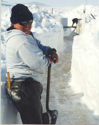
 PHOTO: Brandon Peltier, WERC
|
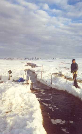
 PHOTO: Brandon Peltier, WERC
|