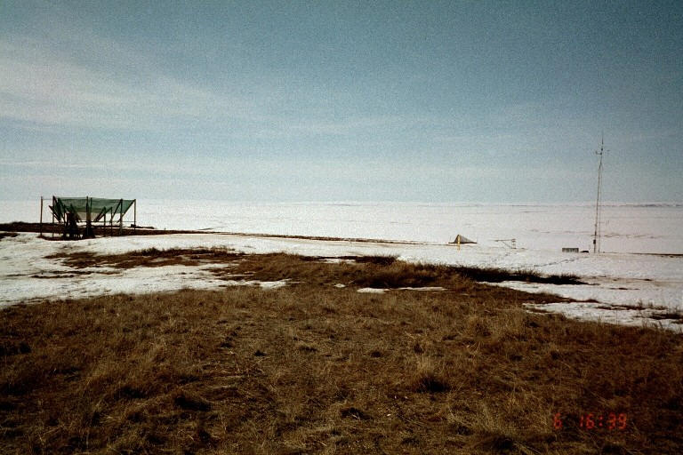
WERC- North Slope Hydrology Research Projects

Sagwon Station Data

UAF, Water and Environmental Research Center logo
Site Map:
Imnavait Watershed Sites  
Graphic bullet to indicate selection itemSite Information
Graphic bullet to indicate selection itemBasin
Graphic bullet to indicate selection itemRidge
Graphic bullet to indicate selection itemValley
Graphic bullet to indicate selection itemFlume
Graphic bullet to indicate selection itemInstrumentation  
Graphic bullet to indicate selection itemImages

Upper Kuparuk Watershed Sites  
Graphic bullet to indicate selection itemSite Information
Graphic bullet to indicate selection itemU.K. Met
Graphic bullet to indicate selection itemU.K. River
Graphic bullet to indicate selection itemNorth Headwater
Graphic bullet to indicate selection itemEast Headwater
Graphic bullet to indicate selection itemWest Headwater
Graphic bullet to indicate selection itemUpper Headwater
Graphic bullet to indicate selection itemGreen Cabin Lake
Graphic bullet to indicate selection itemInstrumentation 
Graphic bullet to indicate selection itemImages

Western Kuparuk Sites  
Graphic bullet to indicate selection itemSite Information
Graphic bullet to indicate selection itemWest Kuparuk
Graphic bullet to indicate selection itemInstrumentation  
Graphic bullet to indicate selection itemImages

Eastern Kuparuk Sites  
Graphic bullet to indicate selection itemSite Information
Graphic bullet to indicate selection itemSagwon
Graphic bullet to indicate selection itemFranklin Bluffs
Graphic bullet to indicate selection itemInstrumentation  
Graphic bullet to indicate selection itemImages

Coastal Plain Sites  
Graphic bullet to indicate selection itemSite Information
Graphic bullet to indicate selection itemBetty Pingo
Graphic bullet to indicate selection itemWest Dock
Graphic bullet to indicate selection itemPutuligayuk River
Graphic bullet to indicate selection itemInstrumentation  
Graphic bullet to indicate selection itemImages

General Info  
Graphic bullet to indicate selection itemNorth Slope Hydrology
Graphic bullet to indicate selection item Main Page
Graphic bullet to indicate selection itemIntroduction
Graphic bullet to indicate selection itemReferences
Graphic bullet to indicate selection itemWERC Home
Graphic bullet to indicate selection itemRelated Links
Sagwon Monitoring Station, looking North-West - 16356 Bytes
PHOTO: WERC

The Sagwon Station is located at Latitude: 69o25' 27.5" N, Longitude: 148o41' 45.1" W, approximately 299 meters above sea level.

Sagwon Station Data
Parameter CSV
File
ZIP
File
Last
Update
Meteorological
data
sh2012m.csv
sh2011m.csv
sh2009m.csv
sh2008m.csv
sh2007m.csv
sh2006m.csv
sh2005m.csv
sh2004m.csv
sh2003m.csv
sh2002m.csv
sh2001m.csv
sh2000m.csv
Sh1999m.csv
sh1998m.csv
Sh1997m.csv
Sh1996m.csv
Sh1995m.csv
SH1994M.csv
SH1993M.csv
SH1992M.csv
SH1991M.csv
SH1990M.csv
SH1989M.csv
SH1988M.csv
SH1987M.csv
SH1986M.csv
sh2008m.zip
sh2007m.zip
sh2006m.zip
sh2005m.zip
sh2004m.zip
sh2003m.zip
sh2002m.zip
sh2001m.zip
sh2000m.zip
Sh1999m.zip
sh1998m.zip
Sh1997m.zip
Sh1996m.zip
Sh1995m.zip
SH1994M.zip
SH1993M.zip
SH1992M.zip
SH1991M.zip
SH1990M.zip
SH1989M.zip
SH1988M.zip
SH1987M.zip
SH1986M.zip
2/3/2015
Please visit NSF Arctic Data Center for archived dataset
Radiation
Data
sh2008r.csv
sh2007r.csv
sh2006r.csv
sh2005r.csv
sh2004r.csv
sh2003r.csv
sh2002r.csv
sh2001r.csv
sh2000r.csv
Sh1999r.csv
sh1998r.csv
Sh1997r.csv
Sh1996r.csv
Sh1995r.csv
SH1994R.csv
SH1993R.csv
SH1992R.csv
SH1991R.csv
SH1990R.csv
SH1989R.csv
SH1988R.csv
SH1987R.csv
sh2008r.zip
sh2007r.zip
sh2006r.zip
sh2005r.zip
sh2004r.zip
sh2003r.zip
sh2002r.zip
sh2001r.zip
sh2000r.zip
Sh1999r.zip
sh1998r.zip
Sh1997r.zip
Sh1996r.zip
Sh1995r.zip
SH1994R.zip
SH1993R.zip
SH1992R.zip
SH1991R.zip
SH1990R.zip
SH1989R.zip
SH1988R.zip
SH1987R.zip
04/17/08
Please visit NSF Arctic Data Center for archived dataset
Snow
Data
SW1993M.csv
SW1992M.csv
SW1991M.csv
SW1990M.csv
SW1989M.csv
SW1988M.csv
SW1987M.csv
SW1986M.csv
SW1993M.zip
SW1992M.zip
SW1991M.zip
SW1990M.zip
SW1989M.zip
SW1988M.zip
SW1987M.zip
SW1986M.zip
02/04/02
Soil Temperature
Data
sh2008t2h.csv
sh2008t1d.csv
sh2008t1h.csv
sh2007t1d.csv
sh2007t1h.csv
sh2006t1d.csv
sh2006t1h.csv
sh2005t1d.csv
sh2005t1h.csv
sh2004t1.csv
sh2003t1d.csv
sh2003t1h.csv
sh2002t1.csv
sh2001t1.csv
sh2001t1h.csv
sh2000t1.csv
sh1999t1.csv
sh1998t1.csv
Sh1997t1.csv
SH1996T1.csv
Sh1995t1.csv
SH1994T1.csv
SH1993T1.csv
SH1992T.csv
SH1991T.csv
SH1990T.csv
SH1989T.csv
SH1988T.csv
SH1987T.csv
SH1986T.csv
sh2008t2h.zip
sh2008t1d.zip
sh2008t1h.zip
sh2007t1d.zip
sh2007t1h.zip
sh2006t1d.zip
sh2006t1h.zip
sh2005t1d.zip
sh2005t1h.zip
sh2004t1.zip
sh2003t1d.zip
sh2003t1h.zip
sh2002t1.zip
sh2001t1.zip
sh2001t1h.zip
sh2000t1.zip
>sh1999t1.zip
sh1998t1.zip
Sh1997t1.zip
SH1996T1.zip
Sh1995t1.zip
SH1994T1.zip
SH1993T1.zip
SH1992T.zip
SH1991T.zip
SH1990T.zip
SH1989T.zip
SH1988T.zip
SH1987T.zip
SH1986T.zip
10/22/2009
Please visit NSF Arctic Data Center for archived dataset

General Reference Format

If you use any of the data presented in this website, we ask you to please reference the author in the following suggested format:

Kane, D.L. and Hinzman, L.D., [year of retrieval], Climate data from the North Slope Hydrology Research project. University of Alaska Fairbanks, Water and Environmental Research Center. URL: http://ine.uaf.edu/werc/projects/NorthSlope/ Fairbanks, Alaska, variously paged. [month and day of retrieval].


Return to Main WERC page
If you have any questions or comments about this project, contact:

Douglas L. Kane
(ffdlk@uaf.edu)
Tel: (907) 474-7808
Larry D. Hinzman
(ffldh@uaf.edu)
Tel: (907) 474-7331
All At:
Water and Environmental Research Center
University of Alaska Fairbanks
Fairbanks, Alaska 99775
Fax: (907) 474-7979


These pages are best viewed with Netscape Ver.2+, or Internet Explorer Ver.3+

http://ine.uaf.edu/werc/projects/NorthSlope/e_kuparuk/sagwon/sagwon.html