WERC- North Slope Hydrology Research Projects

Coastal Plain Sites Instrumentation

UAF, Water and Environmental Research Center logo
Site Map:
Imnavait Watershed Sites  
Graphic bullet to indicate selection itemSite Information Graphic bullet to indicate selection itemBasin
Graphic bullet to indicate selection itemRidge
Graphic bullet to indicate selection itemValley
Graphic bullet to indicate selection itemFlume
Graphic bullet to indicate selection itemInstrumentation  
Graphic bullet to indicate selection itemImages

Upper Kuparuk Watershed Sites  
Graphic bullet to indicate selection itemSite Information
Graphic bullet to indicate selection itemU.K. Met
Graphic bullet to indicate selection itemU.K. River
Graphic bullet to indicate selection itemNorth Headwater
Graphic bullet to indicate selection itemEast Headwater
Graphic bullet to indicate selection itemWest Headwater
Graphic bullet to indicate selection itemUpper Headwater
Graphic bullet to indicate selection itemGreen Cabin Lake
Graphic bullet to indicate selection itemInstrumentation 
Graphic bullet to indicate selection itemImages

Western Kuparuk Sites  
Graphic bullet to indicate selection itemSite Information
Graphic bullet to indicate selection itemWest Kuparuk
Graphic bullet to indicate selection itemInstrumentation  
Graphic bullet to indicate selection itemImages

Eastern Kuparuk Sites  
Graphic bullet to indicate selection itemSite Information
Graphic bullet to indicate selection itemSagwon
Graphic bullet to indicate selection itemFranklin Bluffs
Graphic bullet to indicate selection itemInstrumentation  
Graphic bullet to indicate selection itemImages

Coastal Plain Sites  
Graphic bullet to indicate selection itemSite Information
Graphic bullet to indicate selection itemBetty Pingo
Graphic bullet to indicate selection itemWest Dock
Graphic bullet to indicate selection itemPutuligayuk River
Graphic bullet to indicate selection itemInstrumentation  
Graphic bullet to indicate selection itemImages

General Info  
Graphic bullet to indicate selection itemNorth Slope Hydrology
Graphic bullet to indicate selection item Main Page Graphic bullet to indicate selection itemIntroduction
Graphic bullet to indicate selection itemReferences
Graphic bullet to indicate selection itemSite Usage Statistics
Graphic bullet to indicate selection itemWERC Home
Graphic bullet to indicate selection itemRelated Links

The table below contains links to Microsoft Excel files (*.xls) that describe the instrumentation available at the Coastal Plain Sites.

Betty-Pingo Met (wetland)
Instrumentation

Updated 01/02
Betty-Pingo Upland
Instrumentation

Updated 01/02
West Dock Site
Instrumentation

Updated 01/02
Putuligayuk River Site
Instrumentation

Updated 01/02


Wetlands in Prudhoe Bay Oil Fields - 19054 Bytes
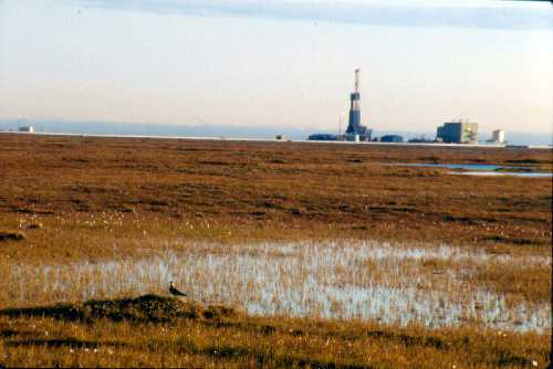
PHOTO: Larry Hinzman, WERC


Return to Main WERC page
If you have any questions or comments about this project, contact:

Larry D. Hinzman
(ffldh@uaf.edu)
Tel: (907) 474-7331
Douglas L. Kane
(ffdlk@uaf.edu)
Tel: (907) 474-7808
All At:
Water and Environmental Research Center
University of Alaska Fairbanks
Fairbanks, Alaska 99775
Fax: (907) 474-7979


These pages are best viewed with Netscape Ver.2+, or Internet Explorer Ver.3+

URL: http://ine.uaf.edu/werc/projects/NorthSlope/coastal_plain/coastal_plain_inst.html