Dr. Svetlana Stuefer and collaborators have released a new dataset from NASA’s SnowEx Alaska campaign, offering one of the most detailed snow depth records to date for boreal and tundra regions between 64°N and 70°N.
Collected over 10 days in March 2023, the dataset captures ground-based snow depth measurements from some of the most remote and under-monitored snow-covered terrain on Earth. The work addresses a longstanding gap: despite the Arctic and boreal zones holding the largest share of global seasonal snow cover, in-situ data has been historically sparse, costly, and inconsistent.
The study not only quantifies snow depth across a range of surface types but also evaluates the accuracy and repeatability of methods used in shallow snowpack conditions. These findings are now positioned to serve as a benchmark for testing snow remote sensing tools and strengthening climate and hydrological models.
The full dataset and methods are now available for researchers and modelers seeking to validate satellite and aerial snow monitoring systems across cold-region landscapes.
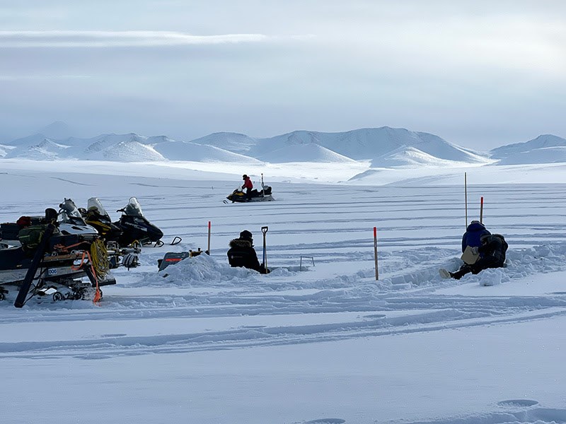
Image top: Ground-based snow measurements in Northern Brooks Range for validating and calibrating airborne lidar and radar measurements. Photo by Sveta Stuefer (UAF).
2026
March
2025
December
November
October
September
August
July
February
January
2024
December
October
September
August