| Name |
Description |
View
*.jpg
Lower
quality |
Download
*.tif
Higher
quality |
Credits
|
Date
Posted |
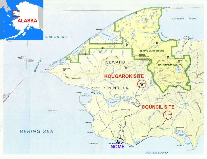
| sewardpenb |
Map of Seward Peninsula w/ Alaska inset
(July 1999) |
*.jpg |
*.zip |
USGS / Andy Monaghan |
12/6/99 |
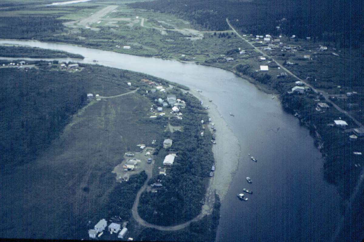
| councilimage |
Areal Image of Council Area (July 1999) |
*.jpg |
*.zip |
USGS? |
12/6/99 |
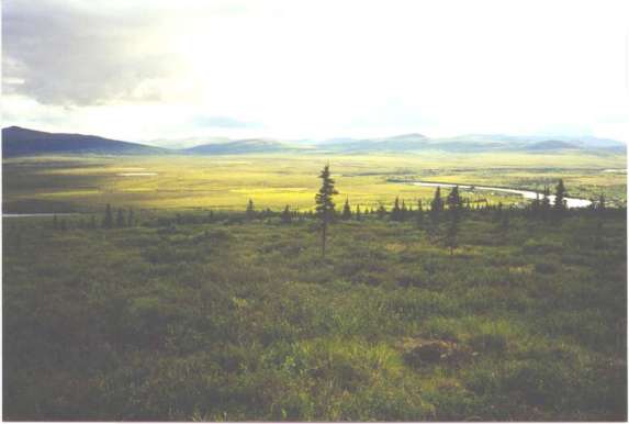
| viewfmbluebrrytow |
Overall view of Council area Taken facing
south from site C2 |
*.jpg |
*.zip |
Julie Knudson |
12/6/99 |
| bluebrrytowinstall |
Installation of site C2 in July 1999 |
*.jpg |
*.zip |
Julie Knudson |
12/6/99 |
| blubrrytow |
Installation of site C2 in July 1999 |
*.jpg |
*.zip |
Julie Knudson |
12/6/99 |
| blubrrytowb |
Installation of site C2 in July 1999 |
*.jpg |
*.zip |
Julie Knudson |
12/6/99 |
| counciltown |
Aerial Photo of Council taken in July
1999 |
*.jpg |
*.zip |
Julie Knudson |
12/6/99 |
| Council
Spring Melt 2000 photos |