Site Map: |
| Imnavait Watershed Sites
Upper Kuparuk Watershed Sites Western Kuparuk Sites Eastern Kuparuk Sites Coastal Plain Sites General Info |
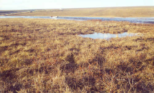
PHOTO: WERC |
||||||||||||
|
The Upper Kuparuk watershed is located on the North Slope of Alaska, at the foothills of the Brooks Range (68o38'N, 149o24'W). The Upper Kuparuk River watershed (drainage area 142 km2) drains the highest and steepest terrain in the entire Kuparuk River watershed. Precipitation is spatially quite variable here because of orographic effects and probably the closeness of the higher mountains just outside the watershed. This drainage is gauged just upstream from where the Dalton Highway crosses the stream near Toolik Lake. It is a north-north- west trending drainage, and on a I :63,360 USGS topographic map it is a fourth order stream. (Kane et al. 2000)
A complete meteorological station is located at the Upper Kuparuk station. Variables measured at this met station are wind speed, relative humidity and air temperature at three elevations (with the maximum at 10 m). Wind direction, rainfall and soil temperatures are also measured. Incoming and outgoing long and short wave radiation are measured from before snowmelt until freeze-up. The other sites only measure air temperature, wind speed, and rainfall precipitation. The water equivalent of the snowpack is measured late each spring at numerous locations over the basin just before melt begins (Kane et al. 2000).
Kane, D.L., Hinzman, L.D., McNamara, J.P., Zhang, Z., and Benson, C.S. (2000)An Overview of a Nested Watershed Study in Arctic Alaska, Nordic Hydrology, Vol. 31 (4/5), 245-266. |
||||||||||||
|