|
|
IMAGES FROM IMNAVAIT CREEK WATERSHED
| Name |
Description |
View *.jpg
Lower
quality
image |
View/Download
Higher
quality
image |
Credits
|
Date
Posted |
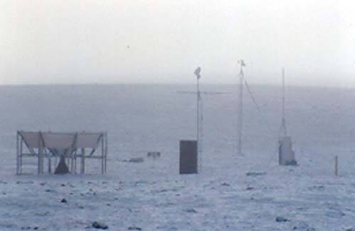
| IBtower |
Imnavait Basin site, summer |
 |
*.jpg (74 KB) |
Larry Hinzman, WERC |
01/02 |
| imnb-Bsite-snow |
Imnavait Basin site, winter |
|
*.jpg (43 KB) |
Larry Hinzman, WERC |
01/02 |
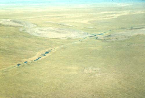
| Imn-creek-aerial |
Imnavait Creek Aerial Photo,
flume is close to gravel mines;
downstream is towards top of image |
|
*.jpg (50 KB) |
Larry Hinzman, WERC |
01/02 |
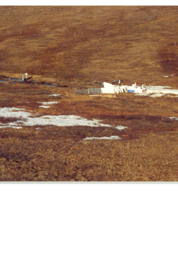
| Imn-trailer |
Imnavait site trailer (home) |
|
*.jpg (47 KB) |
Larry Hinzman, WERC |
01/02 |
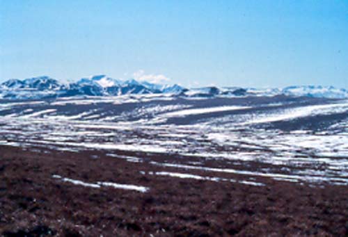
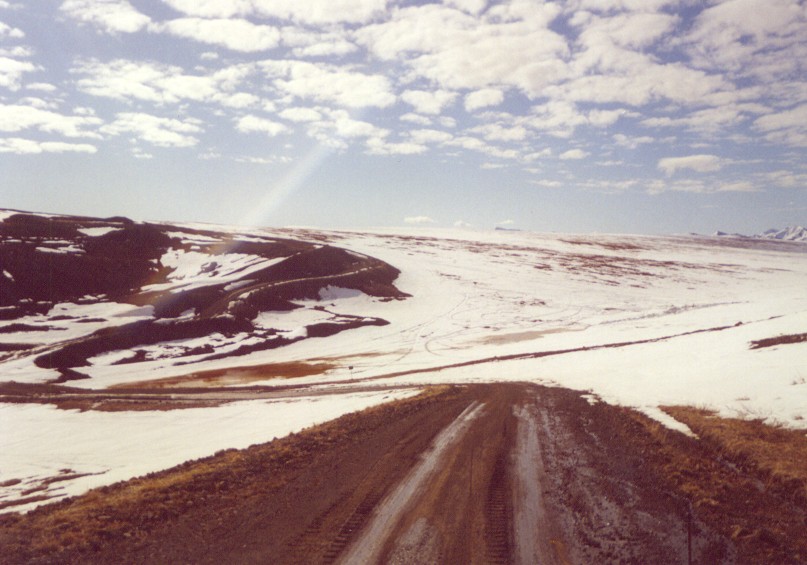
| Imn_upper-basin |
Imnavait Upper Basin |
|
*.jpg (58 KB) |
Larry Hinzman, WERC |
01/02 |
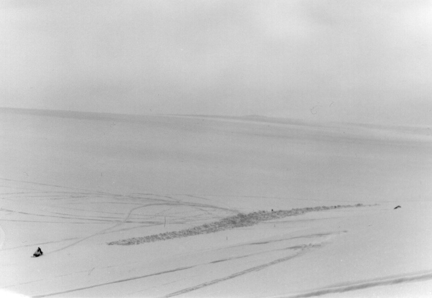
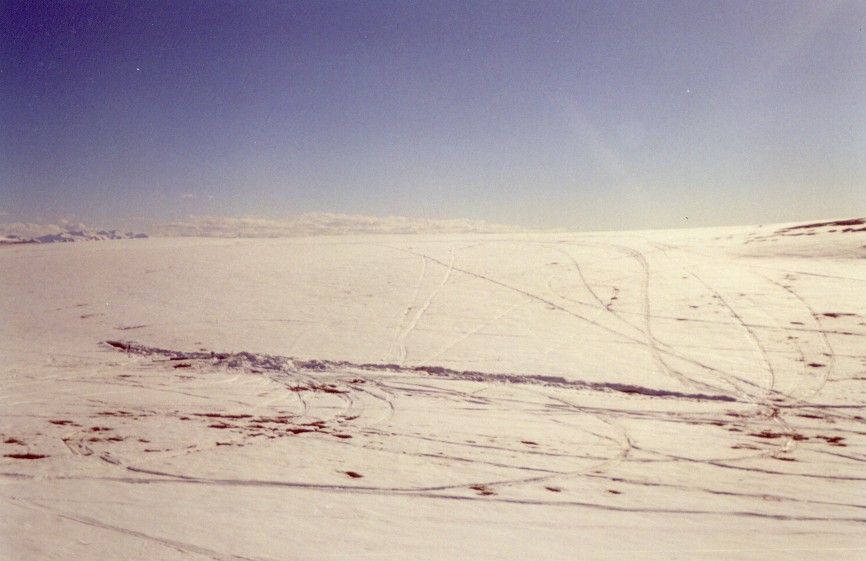
| Watertracks |
Water Tracks Dusted in Snow |
|
*.zip (1.6 MB) |
Larry Hinzman, WERC |
12/01 |
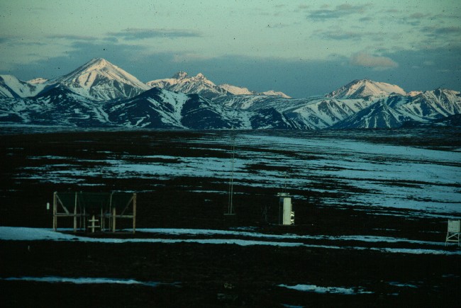
| Mountains.River |
Mountains Around Imnavait |
|
*.zip (1.7 MB) |
Larry Hinzman, WERC |
12/01 |
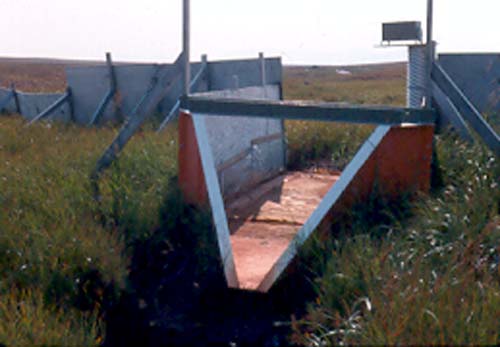
| Flume |
Flume at Imnavait Creek |
|
*.jpg (99 KB) |
Brandon Peltier, WERC |
12/01 |
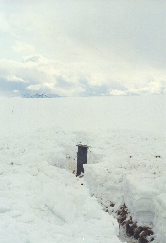
| Well_Snow |
Stilling well in early
spring (2000) |
|
*.jpg (71 KB) |
Brandon Peltier, WERC |
12/01 |
| Flume_Trench_Rob |
Rob Gieck at Imnavait Flume
Snow Trench, 2000 |
|
*.jpg (96 KB) |
Brandon Peltier, WERC |
12/01 |
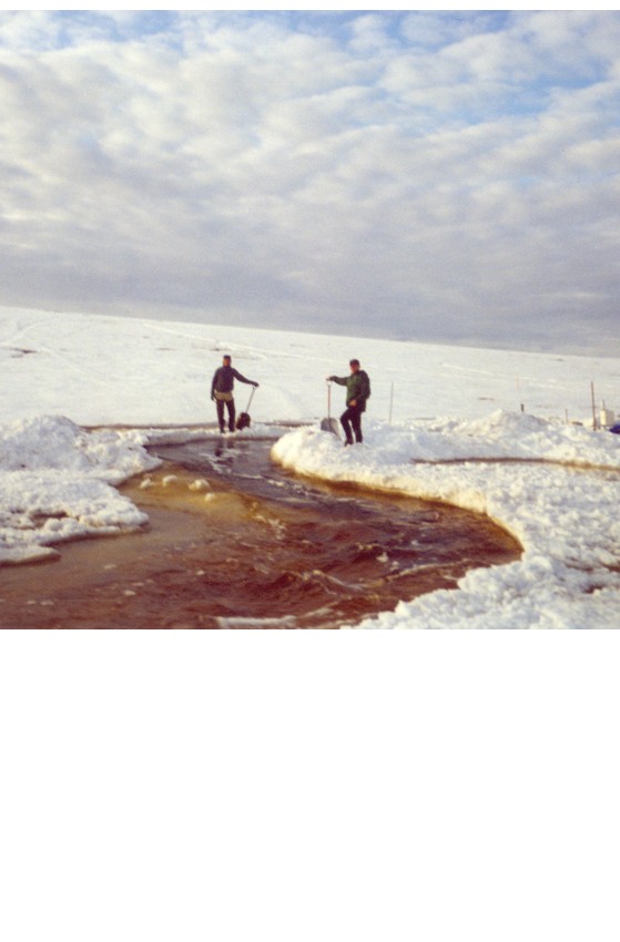
| Jeff-Slushflow |
Slush Flow at Imnavait Creek, 2000 |
|
*.jpg (103 KB) |
Brandon Peltier, WERC |
12/01 |
| Paul-Jeff-Slushflow |
Slush Flow at Imnavait Creek, 2000 |
|
*.jpg (61 KB) |
Brandon Peltier, WERC |
12/01 |
| Paul-Slushflow-Flume |
Slush Flow by Imnavait Creek
Flume, 2000 |
|
*.jpg (86 KB) |
Brandon Peltier, WERC |
12/01 |
| Rob-Slushflow |
Slush Flow at Imnavait Creek
Valley, 2000 |
|
*.jpg (101 KB) |
Brandon Peltier, WERC |
12/01 |
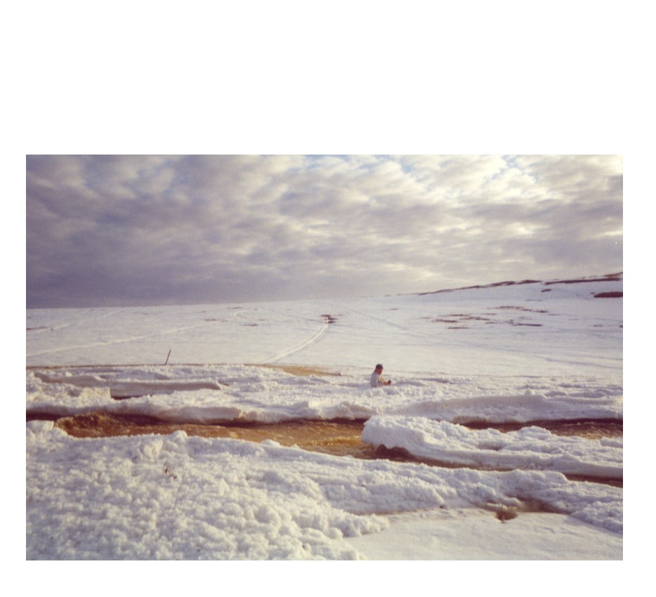
| Trench-Brandon |
Imnavait Creek Basin by flume
in early spring, before melt (2000) |
|
*.jpg (60 KB) |
Paul Overduin, WERC |
12/01 |
| Imn_Basin_E |
Imnavait Basin looking East
by flume, start of melt (2000) |
|
*.jpg (88 KB) |
Brandon Peltier, WERC |
12/01 |
| TrenchBeginMelt |
Imnavait Basin by Flume,
melt in progress (2000) |
|
*.jpg (105 KB) |
Brandon Peltier, WERC |
12/01 |
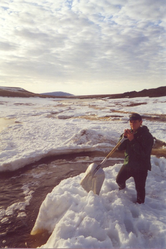
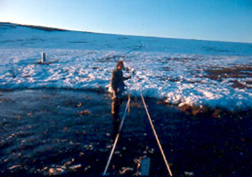
| Imn-streamgaging |
Imnavait Stream,
Discharge measurement |
|
*.jpg (61 KB) |
Larry Hinzman, WERC |
01/02 |
| Imn-flume-dry |
Imnavait Flume; no flow during summer |
|
*.jpg (56 KB) |
Larry Hinzman, WERC |
01/02 |
|
General Reference Format
If you use any of the data presented in this website, we ask you to please reference the author in the following suggested format:
Kane, D.L. and Hinzman, L.D., [year of retrieval], Image data from the North Slope Hydrology Research project. University of Alaska Fairbanks, Water and Environmental Research Center.
URL: http://ine.uaf.edu/werc/projects/NorthSlope/ Fairbanks, Alaska, variously paged. [month and day of retrieval].
|
|