
Kougarok: K1-Burn Station
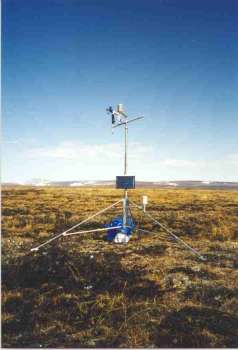
K1-Burn Tower,
Photo by UAF staff
Kougarok site K1 is located at Latitude: 65* 26.422' N, Longitude: 164* 34.710' W, about 290 meters above sea level.
The slope at this location is approximately 0.0 m/m, on a ridgetop.
The vegetation is moss and lichens in a recently burned area.
This site is on the ridge near the head of Niagara Creek. Map info: (Bendeleben B-6, T 1 N, R 28 W, Sec 31).
