WERC 10m met & soil sites in the Kuparuk River watershed:
Imnavait Basin,
Upper Kuparuk,
West Kuparuk,
Sagwon Hill,
Franklin Bluffs,
Betty Pingo,
West Dock
WERC precip data sites in the Kuparuk River watershed headwaters:
North HW,
East HW,
Upper HW,
West HW,
Green Cabin Lake
WERC seasonal gaging stations in the Kuparuk & Putuligayuk River watersheds:
Upper Kuparuk River,
Imnavait Creek flume,
Putuligayuk River
WERC communications repeater & base sites in the Kuparuk River watershed:
Slope Mtn,
Sagwon summit,
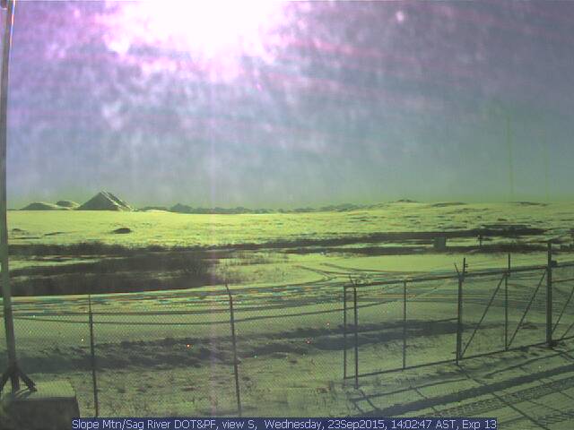
Slope Mtn/Sag River DOT&PF Station (netcam)
Other WERC environmental data networks with near-real-time data:
Seward Penninsula,
Caribou Poker Creek Research Watershed
|
mailto:ffdlk@uaf.edu Tel: (907) 474-7808 |
mailto:ffldh@uaf.edu Tel: (907) 474-7331 |
at:
Water and Environmental Research Center
University of Alaska Fairbanks
Fairbanks, Alaska 99775
Fax: (907) 474-7979
|
|
Copyright 2002, Water & Environmental Research Center, UAF |
|