The SR50 ultrasonic distance sensor is used to determine snow
depth.
Photo: Mike Lilly |

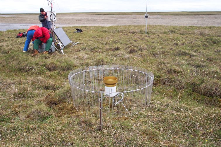
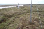
Tipping bucket rain gauge in the foreground; in the background
the installation crew puts the finishing touches on the data
station.
Photo: Mike Lilly |

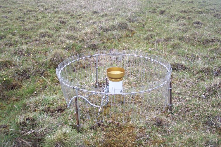
Texas Electronics TE525WS rain gauge with Alter Shield fence
around it.
Photo: Mike Lilly |
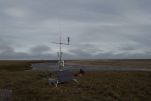
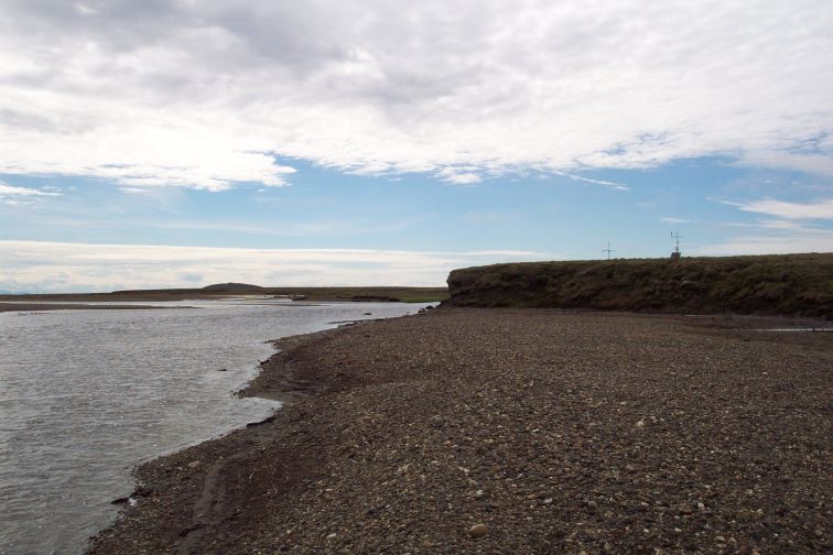
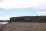
The station sits on a bluff above the Kadleroshilik River.
Photo: Mike Lilly
|
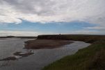
Looking south from the riverbank to the station.
Photo: Mike Lilly |
View of the station from below the riverbank.
Photo: Mike Lilly
|

Another view from the riverside.
Photo: Mike Lilly |
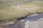
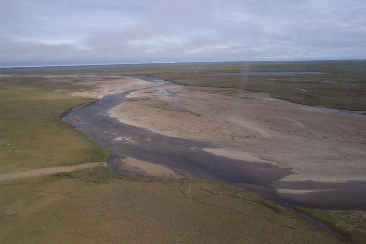
Kadleroshilik River, DBM7 station, and the nearby abandoned
runway and road.
Photo: Mike Lilly |
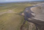
Looking north (downstream) from above the DBM7 station.
Photo: Mike Lilly |

Looking northeast beyond DBM7 toward the Arctic Ocean.
Photo: Mike Lilly |
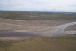
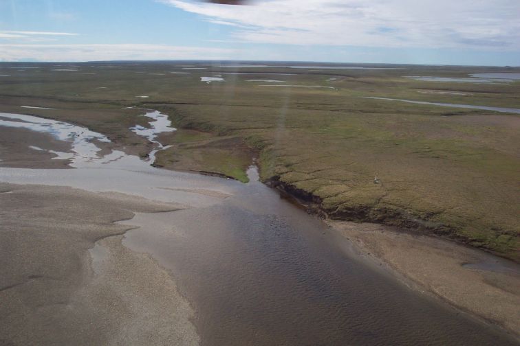
Aerial view looking ESE.
Photo: Mike Lilly |

Aerial view looking south.
Photo: Mike Lilly |