Sag Meteorological and Hydrological Data
| Station Name |
Latitude (°) |
Longitude (°) |
Elevation (m) |
Features Measured |
Archived Data |
| Accomplishment Creek Met (ASM1) |
68.4116 |
-148.1365 |
1458 |
AT,RH,WS,WD,NR,SD,P,ST |
*Realtime |
| Saviukviayak Met (ASM2) |
68.7705 |
-147.4323 |
945 |
AT,RH,WS,WD,NR,SD,P,PB |
*Realtime |
| Ivishak Met (ASM3) |
69.13382 |
-147.92338 |
401 |
AT,RH,WS,WD,NR,SD,P,PB |
*Realtime |
| Sagavanirktok River Alyeska Station near MP347 (ASS1) |
69.2829 |
-148.7359 |
241 |
WL,WT,AT,RH,P,WS,WD,PB |
*Realtime |
| Sag Bridge |
70.2495 |
-148.3035 |
8.1 |
WL |
*Realtime |
Dietrich Meteorological and Hydrological Data
| Station Name |
Latitude (°) |
Longitude (°) |
Elevation (m) |
Features Measured |
Archived Data |
| Dietrich Bridge MP207 (ADS1) |
67.6452 |
-149.7398 |
432 |
WL,AT,PB |
*Realtime |
| Lower Dietrich Met (ADS2) |
67.6449 |
-149.7376 |
442 |
WL,AT,RH,WS,WD,NR,SD,P,PB,ST |
*Realtime |
| Upper Dietrich Met (ADM1) |
68.0485 |
-149.633603 |
1000 |
AT,RH,WS,WD,NR,SD,P,PB,ST |
*Realtime |
Tiekel River Meteorological and Hydrological Data
| Station Name |
Latitude (°) |
Longitude (°) |
Elevation (m) |
Features Measured |
Archived Data |
| Tiekel River MP46 Richardson (ATKS1) |
61.2760 |
-145.2755 |
362 |
AT,RH,WS,WD,NR,SD,P,PB,WL,WT |
*Realtime |
| Tiekel Met (ATKM1) |
61.3099 |
-145.1584 |
1229 |
AT,RH,WS,WD,NR,SD,P,PB |
*Realtime |
Tsina River Meteorological and Hydrological Data
* Near realtime data may be temporararily offline during winter months and prolonged times of low sunlight. Once the solar energy returns the data will be available.
Station Map
Map above: Station map of Sag, Dietrich, and Tsina Rivers.
Site Description
As part of an effort to monitor weather and hydrological conditions on rivers along the pipeline coridor, Alyeska and
UAF installed meteorological stations and water stations at key areas in various watersheds. At the
meteorological stations the following variables are measured: continuous winter snow depth, summer
rainfall, air temperature, relative humidity, wind speed and direction, and solar radiation. At the river
gauge stations water level, water temperature, air temperature, barometric pressure, rain fall, wind
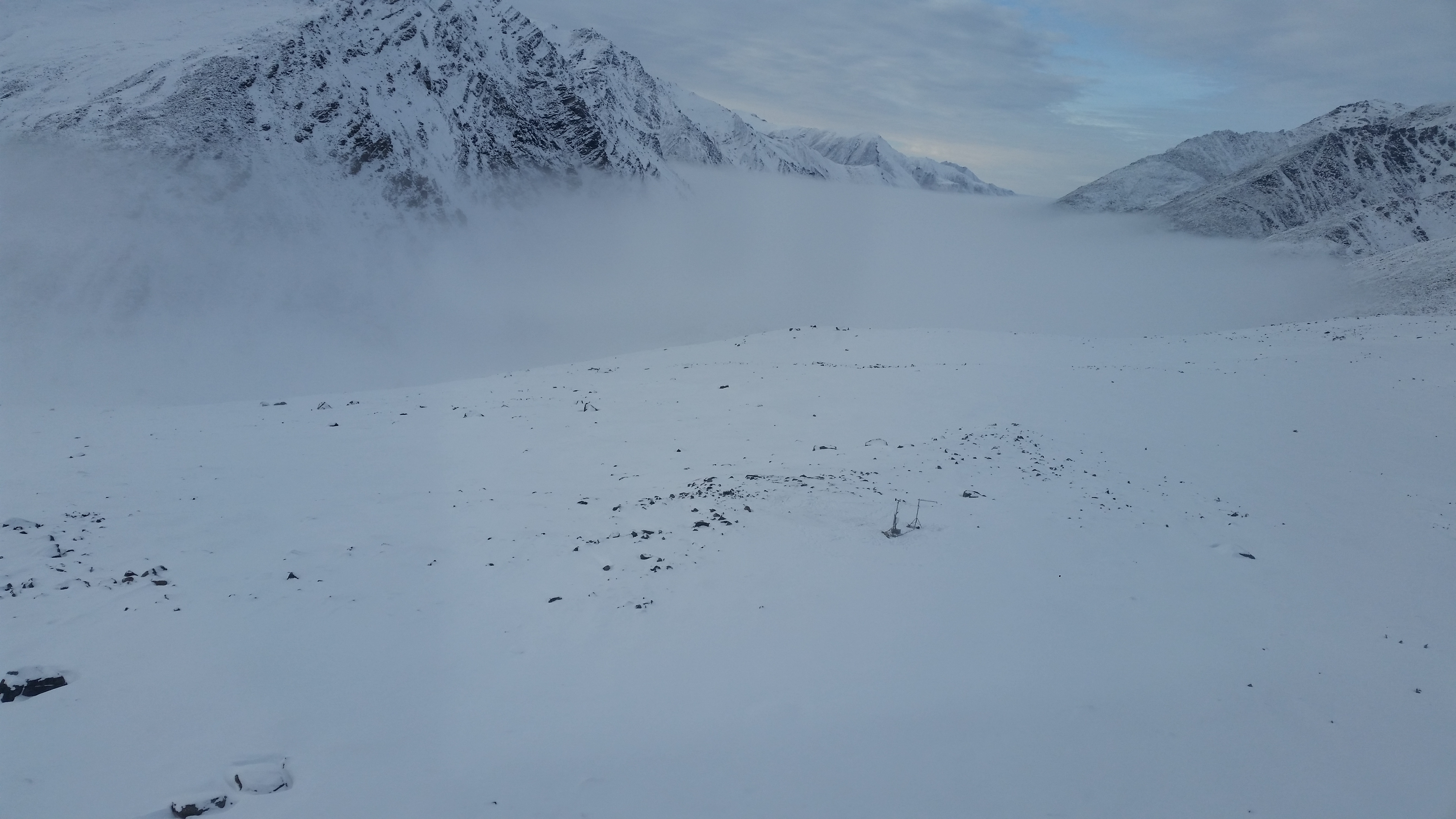
speed and wind direction, and relative humidity are recorded. Cameras were also installed at each
station to observe weather conditions.