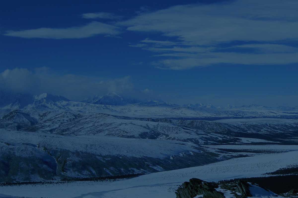
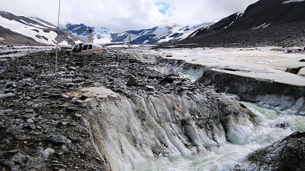
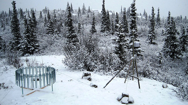
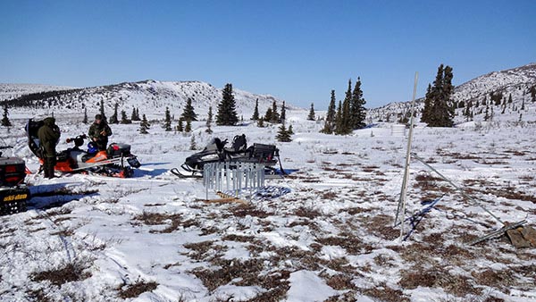
We are supporting near-real time monitoring of basic meteorology at the ridge (1021 m) between the Delta River and Jarvis Creek since October 2012. Additional meteorological stations (840 m to 1650 m), which are not connected to the near-real time network, include air temperature, relative humidity and summer rainfall measurements. Hydrology measurements include runoff, groundwater levels, snow accumulation and water geochemistry.
| Station Name | X Coord. (UTM) | Y Coord. (UTM) | Elevation (m) | Air Temp. (° C) | Rel. Humidity (%) | Rain (mm) | Archived Data | |
|---|---|---|---|---|---|---|---|---|
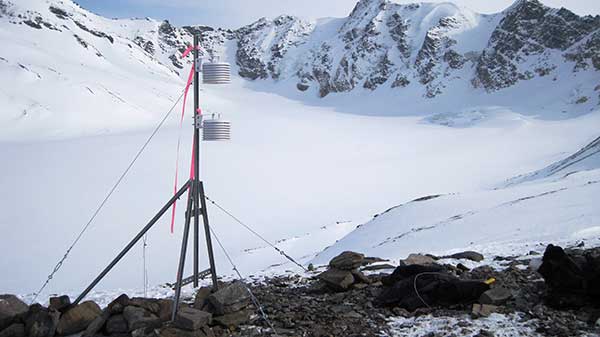
| Coal Mine Ridge | 561974 | 7060795 | 1021 | X | X | X | Realtime | |
| Ober Creek | 564816 | 7075813 | 576 | X | X | X | Realtime | |
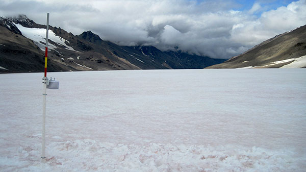
| Off-Glacier | 565441 | 7039479 | 1650 | X | X | X | Realtime | |
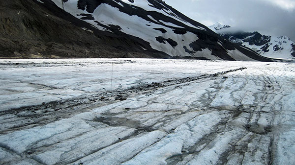
| Glacier_1636 | 566248 | 7039063 | 1636 | X | X | n/a | n/a | 2012 coming soon! |
| Glacier_1383 | 565580 | 7042179 | 1383 | X | X | n/a | n/a | 2012 coming soon! |
| Glacier_1279 | 565403 | 7043191 | 1279 | X | X | n/a | n/a | 2012 coming soon! |
| McCumber Creek | 571534 | 7066195 | 890 | X | X | X | n/a | 2012 coming soon! |
| Coal Mine Road | 558145 | 7063822 | 840 | X | X | X | n/a | 2012 coming soon! |

Coal Mine Ridge
Off-Glacier
Glacier_1636
Glacier_1383
Glacier_1279
Coal Mine Road
McCumber Creek


The University of Alaska is an AA/EO employer and educational institution and prohibits illegal discrimination against any individual. Learn more about UA's notice of nondiscrimination.
For technical issues regarding this website, please contact the web administrator.