|
||||||||||||
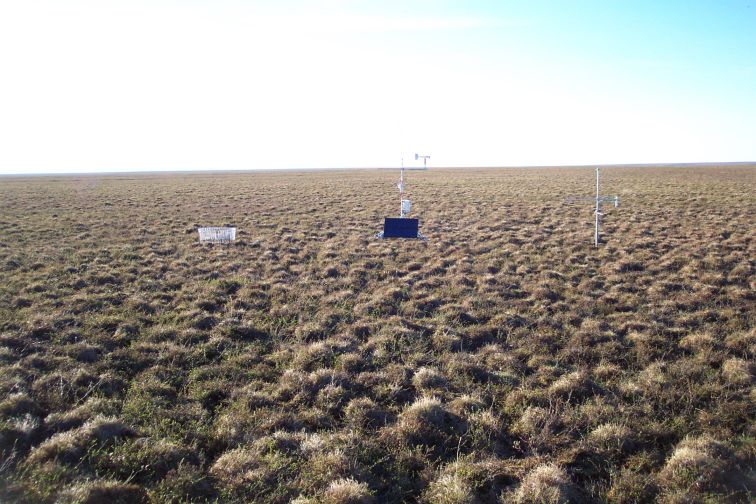
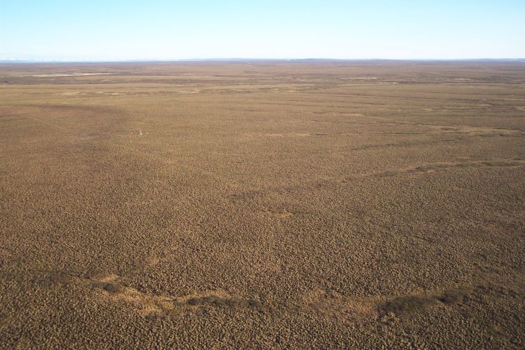
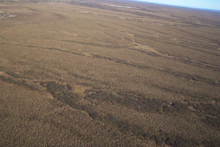
Station Photos |
|||||||||||||||||||||||||||
|
Note: Directions are approximate
|
Note: Arrows with no associated pictures are inactive. Arrows with pictures will "pop" up a separate browser window with each picture you "click". As you continue to "click" more windows open (each separate arrow), be sure to move them around to see each one. They will open behind each other. Use you right mouse button to click on an image to see its file name. File naming convention: siteID_direction_[to or from].JPG - to or from indicates direction camera is looking relative to weather station site |
||||||||||||||||||||||||||
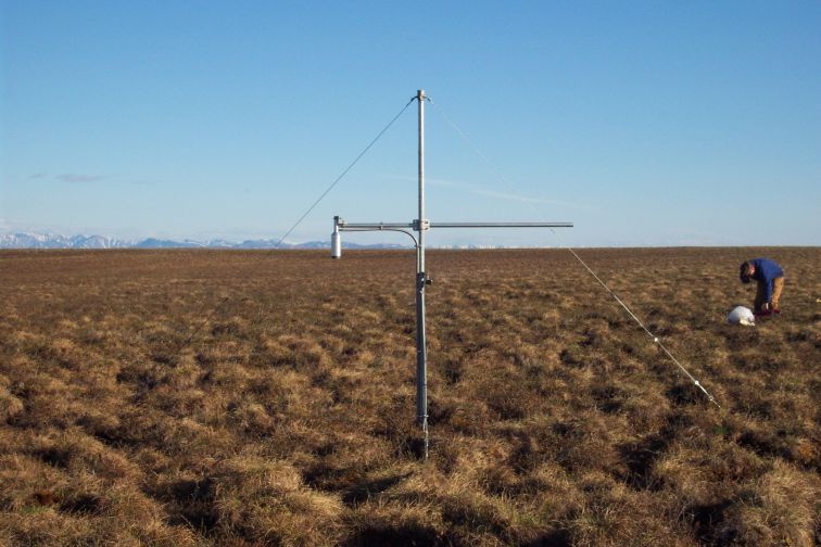
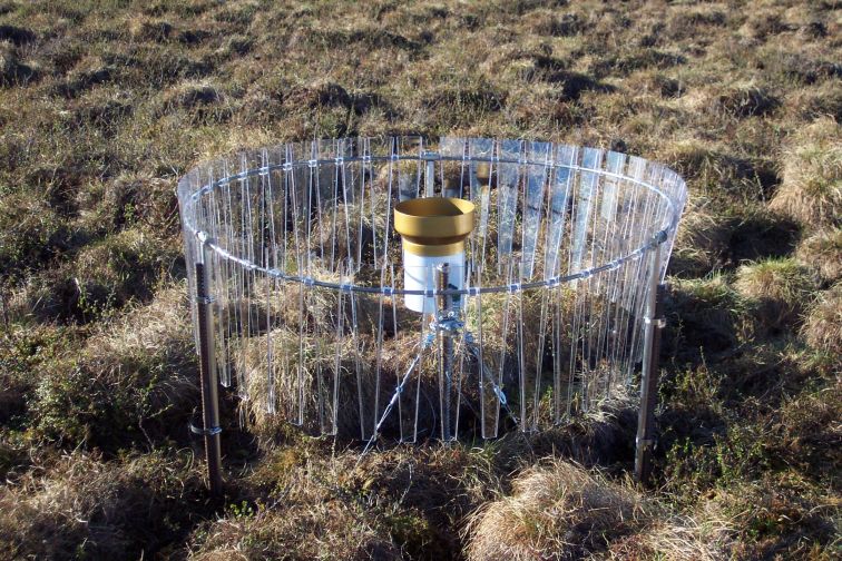
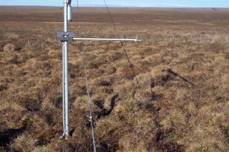
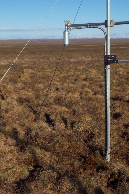
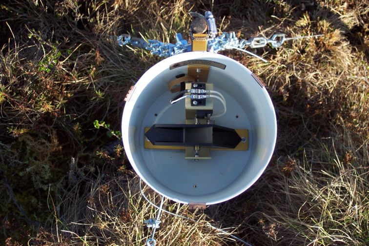
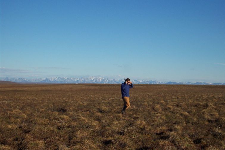
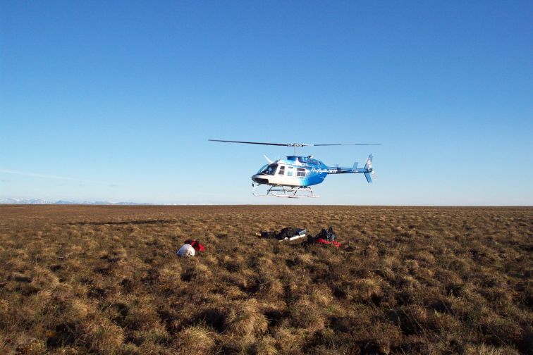
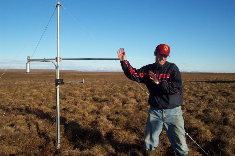
Additional PhotosClick photos to see larger versions
.
Photo credit: Michael Lilly
|
|||||||||||||||||||||||||||
| Copyright © 2006 Water and Environmental Research Center |