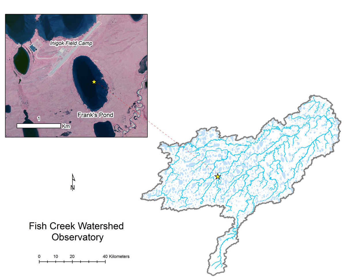
- Station Name:
- Frank’s Pond (Ini-001)
- Latitude:
- N 69.996°
- Longitude:
- W 153.070°
- Elevation:
- 40.6 masl
- Lake Area:
- 66 ha
- Mean Depth:
- 8.0 m
- Record:
- 2011-2017 (discontinued)
- Purpose:
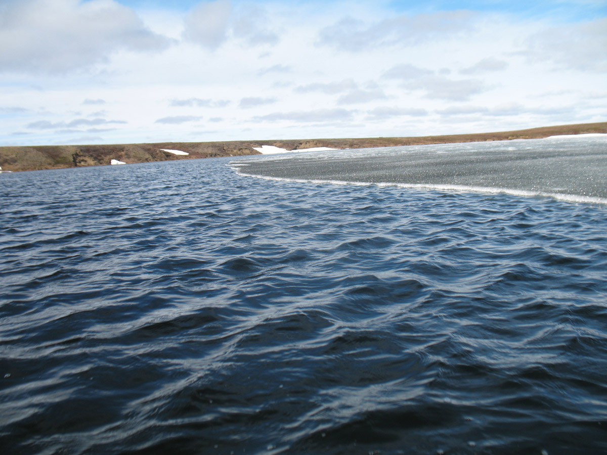
Located just to the South of BLM field camp Inigok, this deep sand sea lake was a place were USGS scientist Frank Urban liked to spend quite time. A popular lake with loons, this site was also part of the Circum-Arctic Lake Observation Network (CALON) from 2012-2015. This lake has a maximum depth near 20 m.