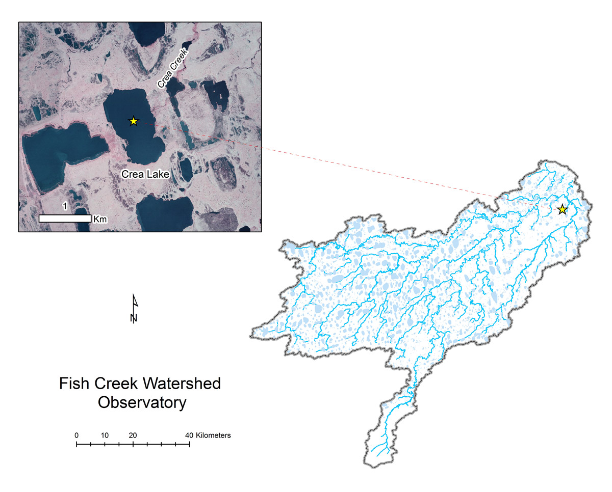
- Station Name:
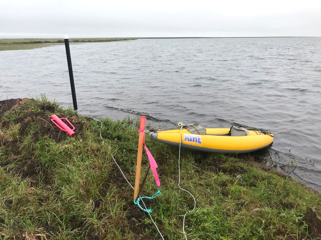
- Crea Lake (L9819)
- Latitude:
- N 70.270°
- Longitude:
- W 151.355°
- Elevation:
- 6.8 masl
- Lake Area:
- 101 ha
- Mean Depth:
- 1.8 m
- Record:
- 2011-present
- Purpose:
The depth of this lake allows it to maintain liquid water below ice in most recent years, but historically may have frozen solid. Arctic grayling, stickleback, and other species use this lake in the summer. It is also used a water supply lake for GMT1. This site was also part of the Circum-Arctic Lake Observation Network (CALON) from 2012-2015.
Select Published Studies on Crea Lake:
- Heim, K. C., C. D. Arp, M. S. Whitman, and M. S. Wipfli. 2019. The complimentary role of shallow lakes and streams as foraging habitat to Arctic Grayling. Ecology of Freshwater Fishes. DOI: 10.1111/eff.12444
- Engram, M., C. D. Arp, B. M. Jones, O. A. Ajadi, and F. J. Meyer. 2018. Analyzing floating and bedfast lake ice regimes across Arctic Alaska using 25 years of space-borne SAR imagery. Remote Sensing of Environment 209:660-676.