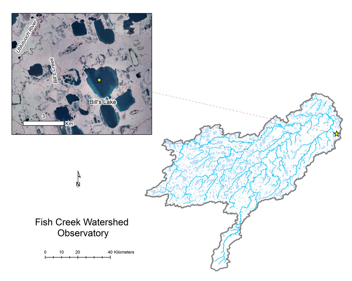
- Station Name:
- Bill’s Lake (L9811)
- Latitude:
- N 70.205°
- Longitude:
- W 151.180°
- Elevation:
- 18.9 masl
- Lake Area:
- 418 ha
- Mean Depth:
- 1.9 m
- Record:
- 2011-2013 (discontinued)
- Purpose:
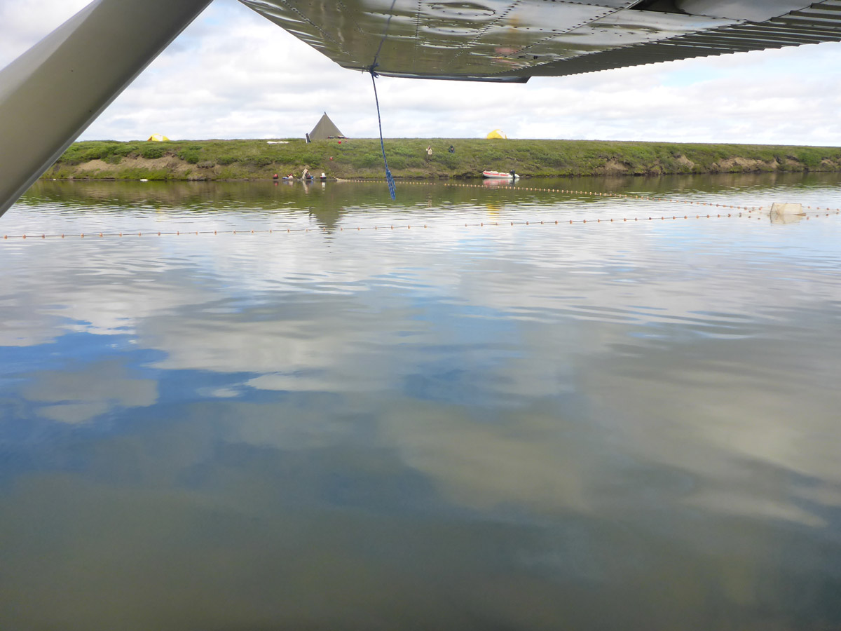
This productive whitefish lake is very close to the Village of Nuiqsut. Named for fish biologist Bill Morris who studied its habitat and connectivity to downstream Bill’s Lake and the Ublutuoch River. This originally served as a reference lake because of no development was planned in its watershed. This site was also part of the Circum-Arctic Lake Observation Network (CALON) from 2012-2013.