|
|
||||||||
|
|
||||||||
|
|
Umiat Corridor Project Summary
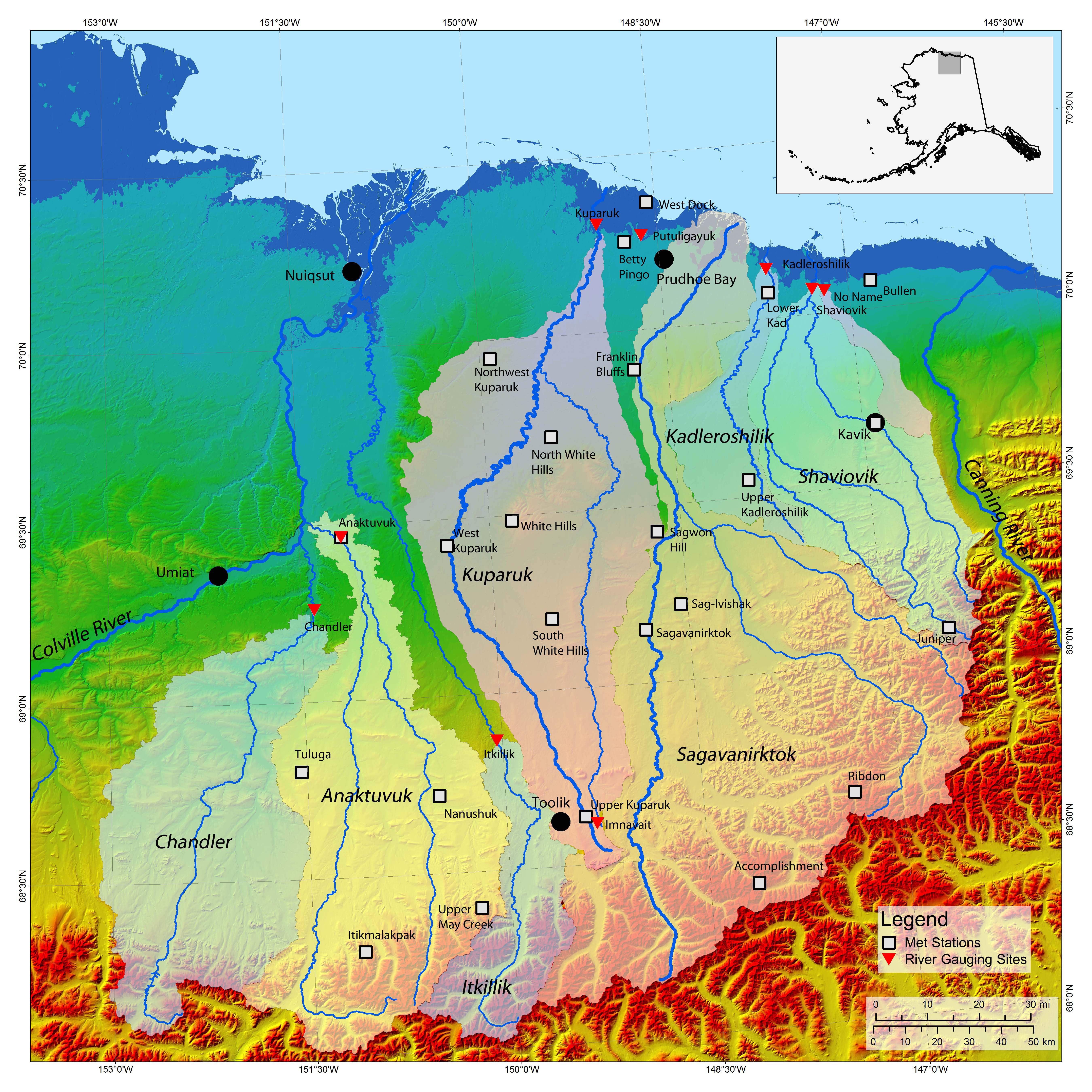
Hydrologic information is needed for evaluation, design, and management of public resources on the North Slope. Snowcover on the Arctic Slope of Alaska lasts up to nine months a year. Water contained in snowpack ensures that snowmelt is a major hydrological event each year. Peak discharge resulting from snowmelt is the primary runoff event for many rivers on the North Slope, particularly for the largest basins like the Colville, Sagavanirktok, and Kuparuk Rivers. Rivers flowing into the Beaufort Sea drain a large area that extends from the Brooks Range through the Northern Foothills and across the Coastal Plain before discharging into the Arctic Ocean. This project, funded by the Alaska Department of Transportation and Public Facilities, will help characterize the major rivers and streams in watersheds in the Umiat Road Corridor. The effect of climate change may be evaluated to help determine the future impacts to resource development efforts and public infrastructure. This project is building on the many years of research the Water and Environmental Research Center has conducted in the central North Slope. Click here for a map showing the study area and station locations. |
|||||||
|
||||||||