MAP of the Caribou-Poker Creeks Research Watershed
Base map
Aerial photo
with
Topographic map
Soil map
Slope map
Vegetation map
Permafrost map
Topographic map
with
Aerial photo
Trail map
Stream map
W
atershed boundary
Equivalent Latitude map
Permafrost map
Vegetation map
with
Community C
ode
s
for
Vegetation Polygons
Aerial photo
T
opographic map
T
opographic map +
Community
code
s
Permafrost
map
Permafrost map
with
Topographic map
Aerial photo
Equivalent Latitude map
Vegetation map
Stream map
Slope map
with
Aerial photos
,
Equivalent Latitude map
Soil map
with
Aerial photo
Major lineation trends map
with
Aerial photo
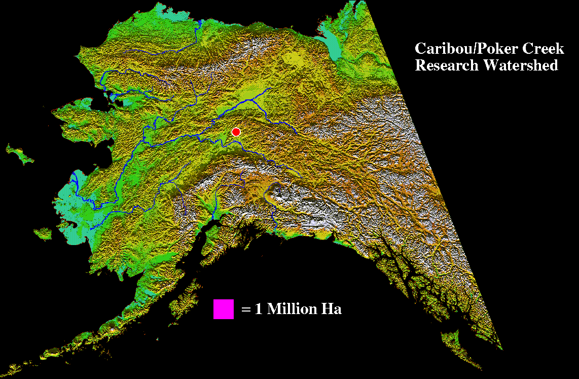
Location map (from
Space
,
Alaska
,
Surface
)
DEM(Digital Elevation Model)
Livingood A1&A2
Miscellaneous Maps
Three-dimensional map
Caribou Creek
Pingo
CPCRW All
Caribou Peak
Haystack Mt.
GPS Survey report
Aierial Photos
Index
1951
1969
1977
1979
1982
1987
1990
1993
1999
Drilling log
Caribou Peak
-
CRREL1985
,
DoT1999
Three-dimensional movie
Pingo
Caribou Creek
CPCRW All
Break up movie 1979(C2,C3) from super 8mm
Temperature
Surface Ground temperature annual animation
Surface Ground temperature map
Air temperature map
Freezing index map
Pingo
T
opomap
active
pingo
T
opomap
collapsed
pingo
3D map
Profile
Radio Telemetry System
Back to
General Information
Database
Main
Library
Sitemap