|
||||||||||||
Snow Depth Plots |
| Plot Notes: Fluctuations in the snow depth may be due to inherent or physical errors as described below. |
|
Site Specific Information: |
|||
|
|||
|
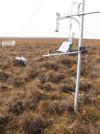
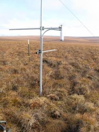
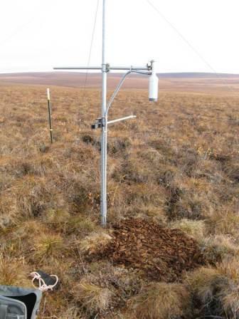
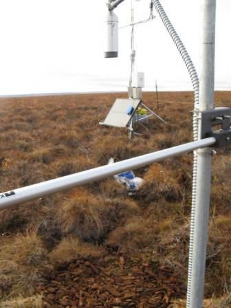
Sensor Photographs: | |||
SR50 snow depth sensor on pole before bark chips placed under sensor |
SR50 snow depth sensor on pole before bark chips placed under sensor | ||
SR50 snow depth sensor on pole after bark chips placed under sensor |
SR50 snow depth sensor on pole after bark chips placed under sensor | ||
|
SR50 Sensor Description: |
|||
The SR50 snow depth sensor has an ultrasonic pulse measurement cone of 22 degrees from the bottom of the sensor to the target. The sensor measures the distance from the sensor to the target (in this case it is the ground surface or snow surface). To calculate snow depth, this distance to target measurement is subtracted from the field measured distance to ground surface. Currently, the sensor records measurements at one minute intervals and reports hourly averages. Potential inherent errors exist; since the speed of sound is affected by the temperature of the air it is traveling in, an air temperature measurement is required to correct the distance reading. Physically related errors include wind and blowing snow creating spurious data readings, difficulty in establishing a zero point due to tussocks, low shrubs, grass, etc., ground heave altering sensor height and angle, as well as cable breakages due to wildlife. Research is underway to improve the measurement with moving averages and weighting schemes. |
|||
| Copyright © 2006 Water and Environmental Research Center |